Strategic Checkpoint Architecture Consolidates Territorial Control in the West Bank
Recent military cartography reveals a permanent lattice of over three hundred checkpoints across the occupied West Bank, severely restricting Palestinian freedom of movement. The systematic closure of internal crossings has transformed local commerce and isolated religious sanctuaries.
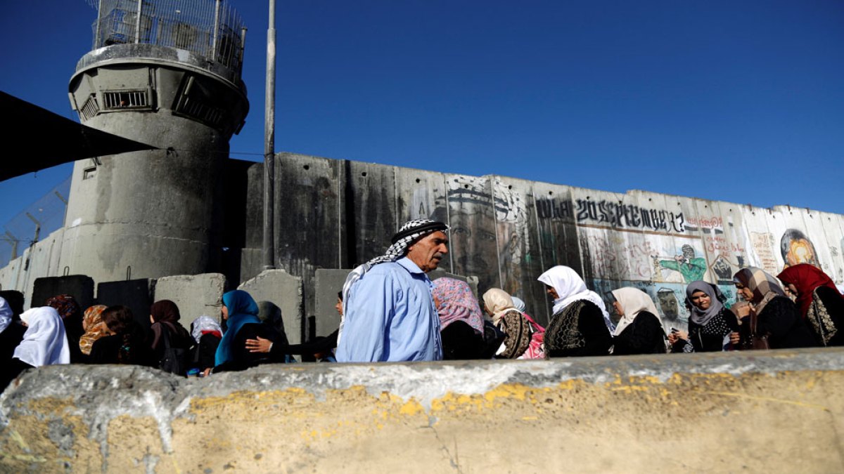
An exhaustive spatial mapping of the occupied West Bank highlights a dense administrative apparatus comprising more than three hundred military checkpoints, roadblocks, and electronic gates. Israeli security forces utilized recent closure orders to halt cross-territory transit entirely, severing commercial arteries between major municipal centers. This architecture of control governs every facet of daily existence, dictating labor commutes, medical access, and agricultural logistics. The underlying political friction involves the direct collision between military security imperatives and international humanitarian law regarding freedom of movement. Human rights organizations argue that the permanent consolidation of checkpoints constitutes unlawful collective punishment and de facto annexation. Defense strategists maintain that these barriers are indispensable operational necessities required to intercept asymmetric security threats. Local Palestinian agricultural producers and urban service workers bear the immediate economic losses, facing prohibitive transportation delays and ruined perishable goods. Security contractors and infrastructure firms supplying surveillance technology capture long-term commercial gains from the expansion of automated border controls. Over the next twelve months, this permanent checkpoint grid will permanently fracture the West Bank into isolated cantons, precluding any viable territorial economy.
Comments 0