Cyclone Murasu Landfall Begins, Heavy Rain Batters Andhra Coast
Cyclone Murasu began making landfall on the Andhra coast at about 1 a.m. on Tuesday, bringing heavy rain and gale‑force winds. Meteorologists warned that wind speeds could reach 110 kmph with gusts up to 120 kmph.
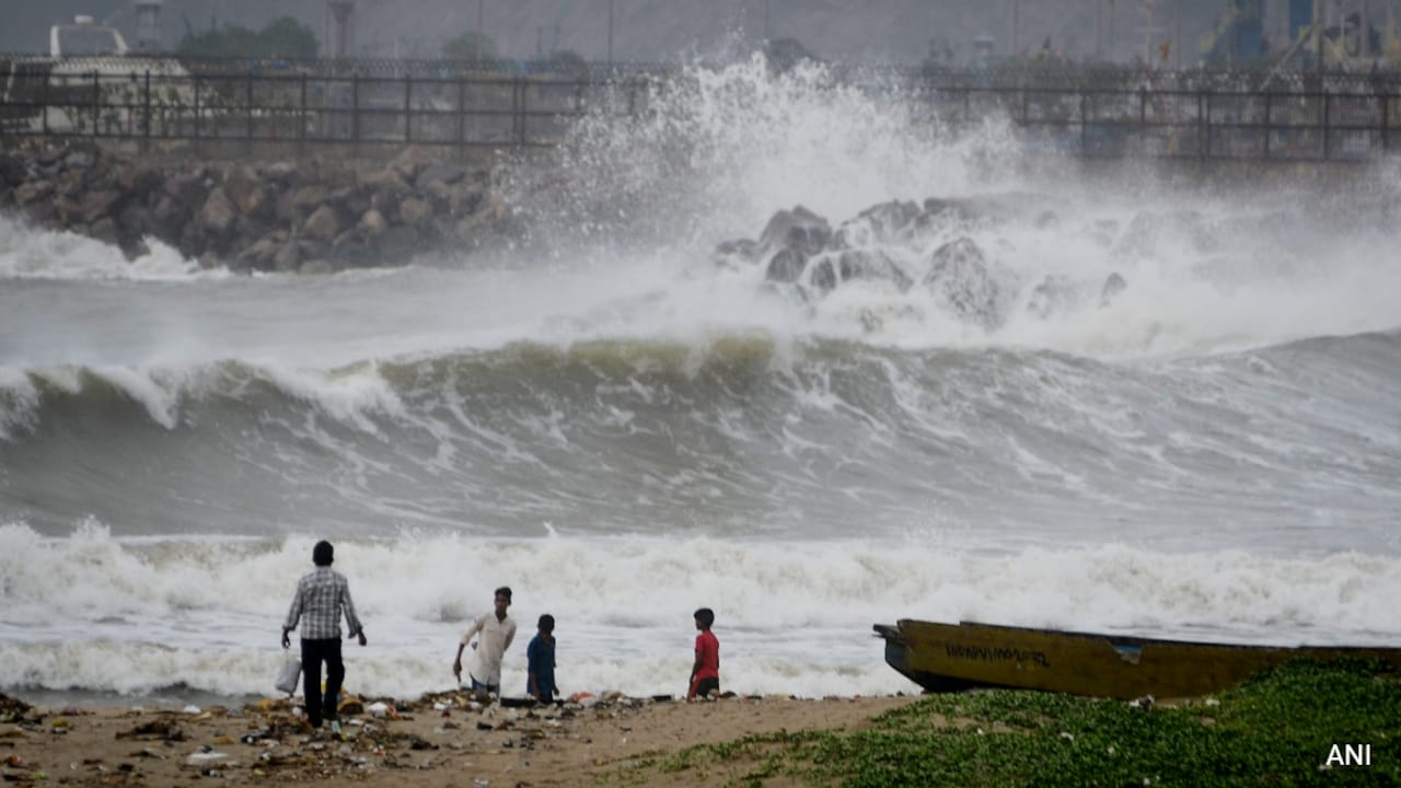
The India Meteorological Department reported that Cyclone Murasu started its landfall early Tuesday morning, around 1 a.m., along the coastal districts of Andhra Pradesh. The system is moving inland with sustained winds of 110 kilometres per hour and occasional gusts that have been measured at 120 kilometres per hour. Rainfall bands associated with the cyclone are expected to produce intense downpours that could last for several hours, raising the risk of flash flooding in low‑lying areas.
Local authorities have issued evacuation orders for vulnerable communities, especially those in coastal villages and river basins that are prone to inundation. Emergency services are on standby to respond to reports of property damage, power outages, and road blockages caused by fallen trees and debris. The heavy rain is also expected to affect agricultural fields, particularly paddy and horticultural crops that dominate the region's economy, potentially leading to short‑term losses for farmers.
For readers across India, the cyclone highlights the ongoing challenge of managing natural disasters in densely populated coastal zones. Andhra Pradesh is a major contributor to the country's food supply and industrial output, so any disruption can have ripple effects on national markets. The event also underscores the need for robust early warning systems and community preparedness, lessons that are relevant for other states that face similar monsoon‑related threats.
Comments 0